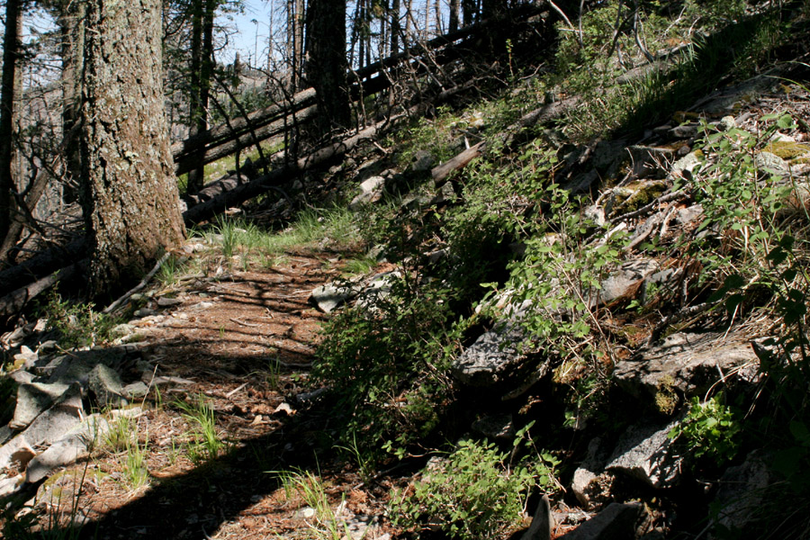
Capitan Peak isn't quite the highest point in the Capitan Mountains, but it's close. It's also one of the more readily-accessible portions of the range. The trail up to the peak starts from an old semi-defunct Boy Scout Camp and goes up (and up, and up) through forested granitic talus slopes.
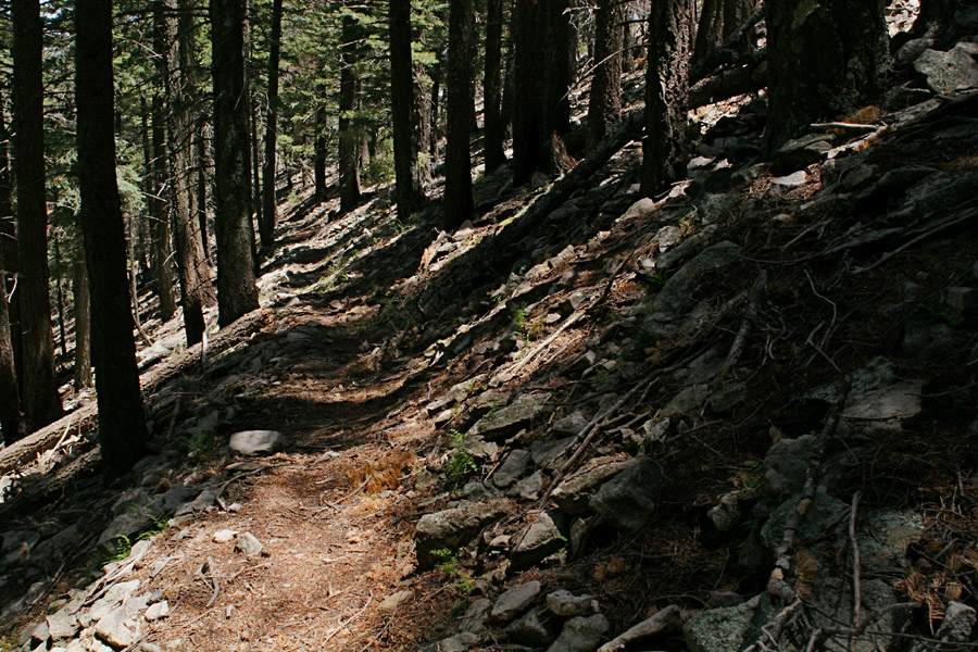
Talus with Douglas Fir on the Capitan Peak Trail, 17 Jul 06.
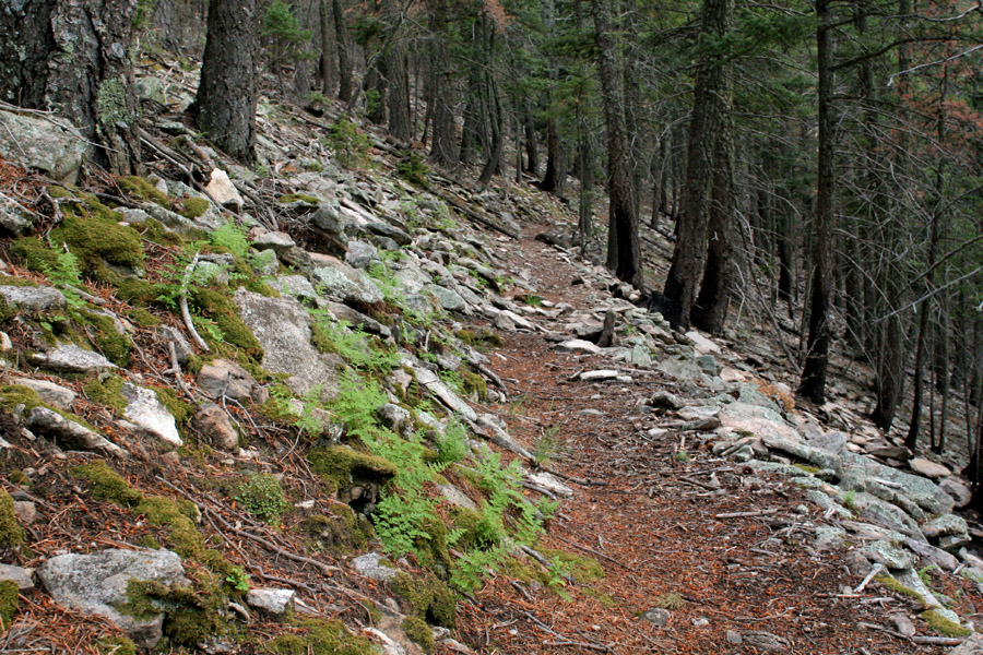
Woodsia plummerae is common on the talus, especially on the upper parts of the trail. 17 Jul 06.
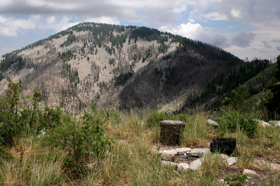
Looking southeast at Sunset Peak from an opening along the Capitan Peak Trail, 4 Jul 06.
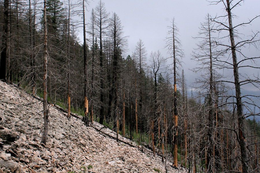
Much of the forest burned recently. 4 Jul 06.
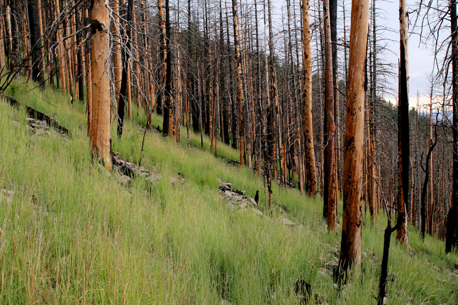
More burned forest. The dense grass is Psathyrostachys juncea, a non-native species the Forest Service uses to revegetate burned areas in an attempt to prevent erosion. 4 Jul 06.
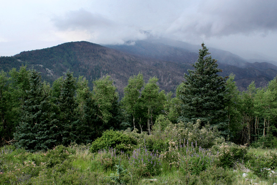
Looking west along the Capitan Mountains from just below Capitan Peak, 4 Jul 06. It rained shortly afterwards.
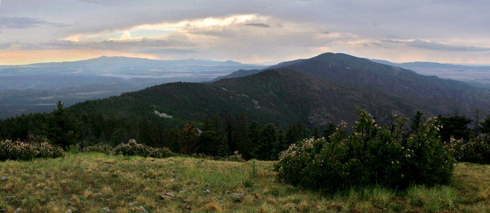
The view west from the peak, 4 Jul 06. The highest peak at distant left is Sierra Blanca.
An open, weedy bit of talus on the upper part of the Capitan Peak Trail, 17 Jul 06. This is the type locality for Heuchera woodsiaphila.