Views near the divide between Sids Prong and Gallinas Canyon along the Black Range Crest Trail.
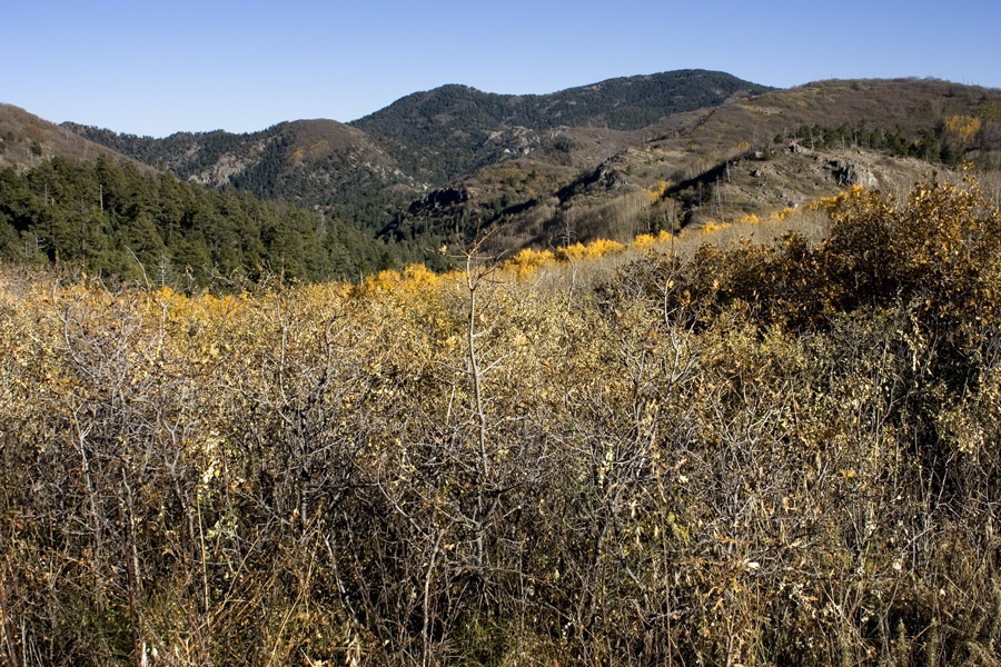
Looking south-southeast along the crest trail just southeast of the divide, in an area with gently sloping Robinia thickets. The highest point visible is Hillsboro Peak. 26 Oct 2008.
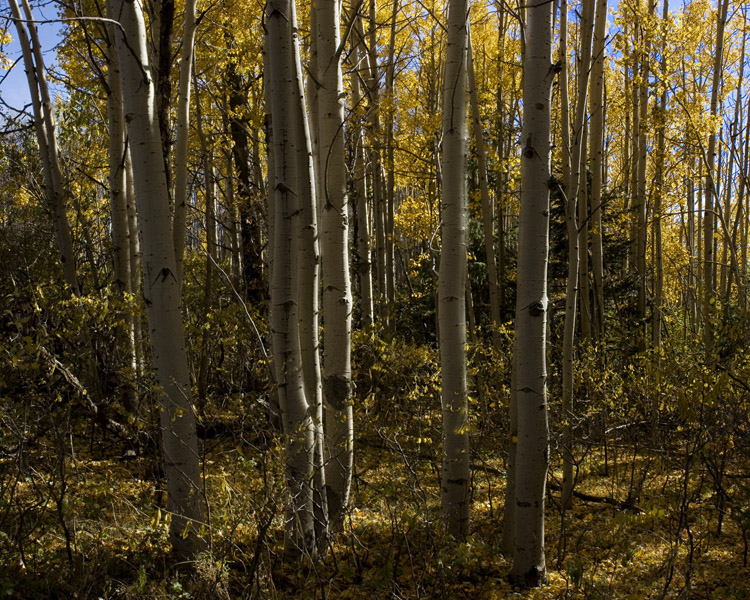
Populus tremuloides along the crest trail, 25 Oct 2008.
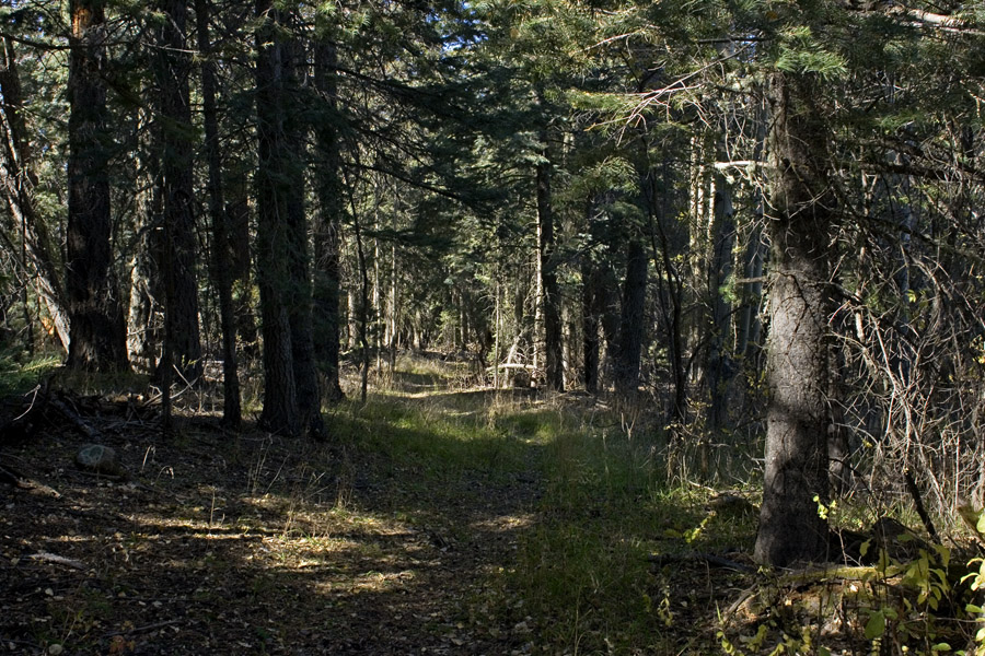
Pseudotsuga forest along the trail, 26 Oct 2008. Much of the trail is like this.
Go back to:
Grant County
The main NM map
The main index